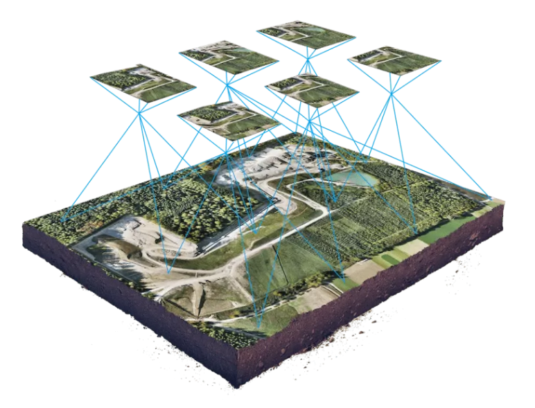
What is an Orthomosaic?

A higher resolution version of the aerial images you see on Google Earth. They are made from a collection of smaller images captured by the drone in a grid like formation, stitched together, then corrected for lens distortion, perspective and topographic relief. Because they've been orthorectified, they provide high precision map data true to the surveyed land that can then be analyzed for a variety of purposes.

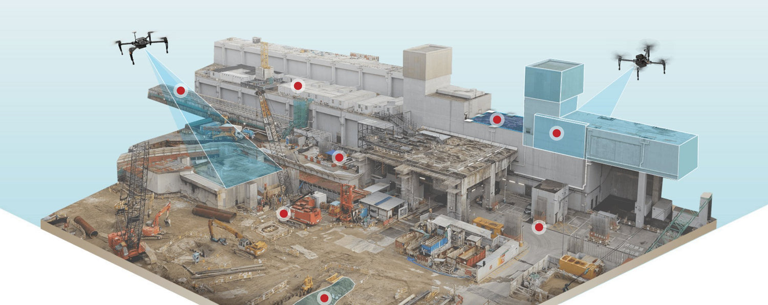
Applications of high resolution mapping

One of the main uses of this technique is to simply obtain a fully up-to-date view of a large swath of land. Oftentimes the image you see
via Google Earth is years old, and with drone services you can get an updated
view of your construction site on a regular basis. Not only that, but the
accuracy of the model can be leveraged to easily measure distances, areas, and
volumes. Construction firms can use these tools to calculate the volume of
stockpiles, estimate material costs, and collect other valuable data without
actually having to be at the construction site. Software programs can also use
the raw data from the aerial photos used to create the orthomosaic to construct 3D models.

  • Construction: site monitoring for improved planning and resource management, on your schedule and without the need for in-person checkups
  • Agriculture: monitor vegetation health to reduce pesticide / chemical costs and create effective insurance claims from animal / flooding damage
  • Urban development: track erosion and shoreline stability, assess damage and risks from severe weather events and create model buildings

Get your project started today!

Contact Us